
Open/Close Dates
- Unknown
Avalanche Conditions
Northwest Avalanche Center
Avalanche.org
Trail Map

Orr Creek Sno-park is located in the South Cascades region. This Sno-park features 154 miles of motorized snowmobiling trails.
- Trail Length: 154 miles
- Elevation: 3,000 feet
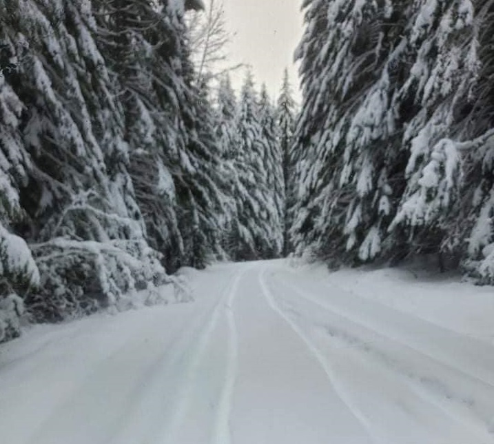
This site is in a mature and varied forest setting interspersed with mountain meadows and geographic features, north and west of Mt. Adams Wilderness. Parking for 35 vehicles. Shelter with wood stove. Trail system includes 154 miles. Vault toilets are located near Takhlakh Lake and Midway Meadows.
For more information including grooming and plowing updates visit Washington State Parks winter recreation website: https://parks.wa.gov/find-sno-parks/orr-creek-sno-park
Washington State Parks winter recreation website
Web Cams
NONE
Nearest Snotel
- Potato Hill 4510 ft
- MAP
Weather
![]()
Forecast for Johnson/Orr Creek Sno-Park, WA
Search & Rescue
Call 911 or use your satellite communications device
Snowmobile Clubs
Parking
Directions:
From Randle, WA head south on Highway 131 (Cispus Road) to Forest Road 23 to Forest Road 21, to Forest Road 56, to Forest Road 5603. Orr Creek Sno-Park is 26 miles from Randle. You will encounter paved roads, chip-sealed roads and a short section of gravel.
Forest Road 23 is plowed by Lewis County to the junction with Forest Road 28. The rest of the road system to Orr Creek is plowed by the Forest Service, using funds provided through the State Parks and Recreation Commission. Roads are normally plowed prior to the weekend and as needed during the week.
User Permits
Get Permits NowProducts & Services

Your one stop shop for aftermarket
snowmobile parts and accessories
Mountain Side Performance
Kremmling, CO
(970) 406-2722


Marlenee LLC Excavation & Marlenee Photography
6790 Hillside Drive
Idaho Falls, ID 83401
(970) 227-7977