Open/Close Dates
- Unknown
Avalanche Conditions
Northwest Avalanche Center
Avalanche.org
Trail Map
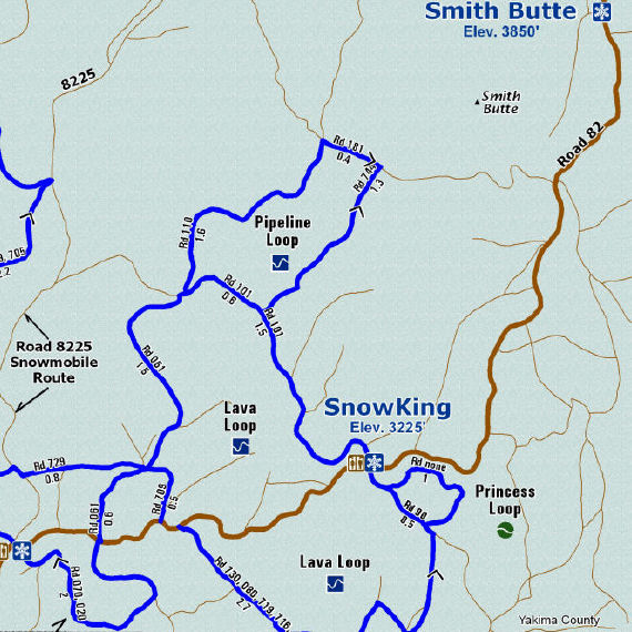
Directions: 6 miles northeast of Trout Lake. State Route 14 to Highway 141 north to Mount Adams Road to USFS Road 82
Elevation: 3,225 feet
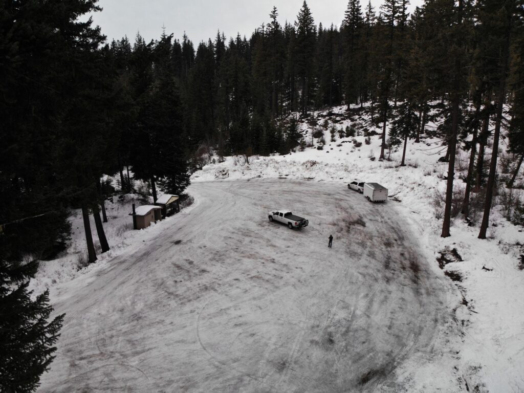
25 spaces.
No groomed snowmobile trails, 28 km (Eastside Trail System for skiing) Also used by non-motorized recreationists, vault toilet
Sno-Park Permit Required November thru April or as posted.
Please obey posted signs indicating whether a permit is needed. Contact the local agency listed for each Sno-Park for more information.
Please note:
after periods of extreme weather, work crews may be on trails during the day to clear debris or drifts. Please exercise caution.
Winter Recreation Grooming Map
Web Cams
NONE
Nearest Snotel
- Surprised Lakes 4290 ft
- MAP
Weather
![]()
Forecast for SnowKing Sno-Park area
Search & Rescue
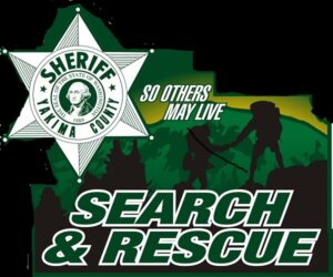
Yakima County SAR
Call 911 or (509) 574-2535
Call 911 or use your satellite communications device
Snowmobile Clubs
Parking

User Permits
Get Permits NowProducts & Services
Your one stop shop for aftermarket
snowmobile parts and accessories
Mountain Side Performance
Kremmling, CO
(970) 406-2722


Marlenee LLC Excavation & Marlenee Photography
6790 Hillside Drive
Idaho Falls, ID 83401
(970) 227-7977